Archaeologists claim to identify site of historic Battle of al-Qadisiyyah using satellite images
TEHRAN – A team of archaeologists claims to have identified the location of the historic Battle of al-Qadisiyyah, fought in c. 636 CE between Iran’s Sasanian Empire and an invading Arab army in present-day Iraq. The Arab victory over the army of Yazdegerd III marked the end of his dynasty and the beginning of Arab


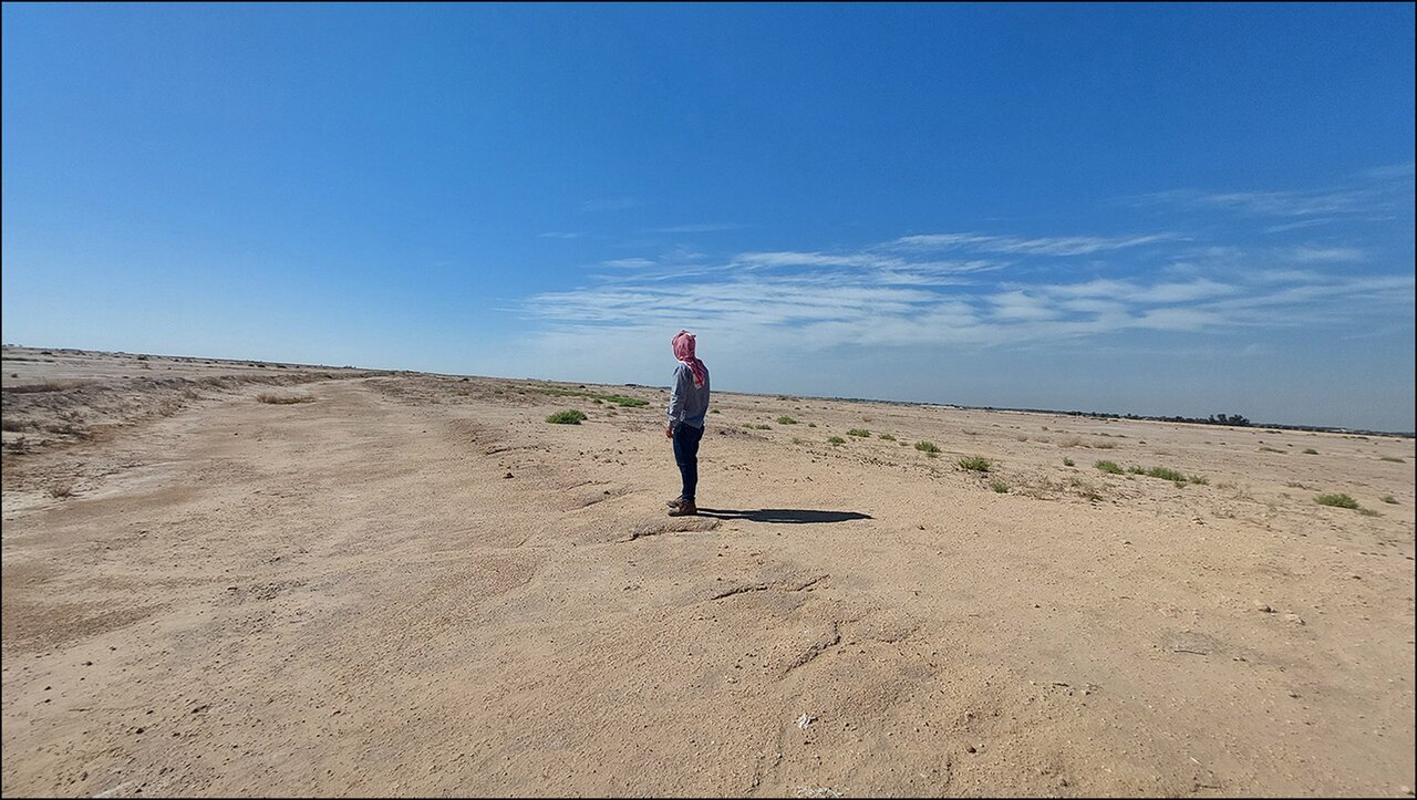
TEHRAN – A team of archaeologists claims to have identified the location of the historic Battle of al-Qadisiyyah, fought in c. 636 CE between Iran’s Sasanian Empire and an invading Arab army in present-day Iraq.
The Arab victory over the army of Yazdegerd III marked the end of his dynasty and the beginning of Arab and Islamic rule in Persia.
The discovery, based on declassified U.S. spy satellite images from the 1970s, sheds new light on one of the pivotal events in the early Islamic conquests, ILNA reported on Sunday.
The findings, published in the journal Antiquity, result from a collaborative effort between archaeologists from Durham University in the UK and scholars from Al-Qadisiyyah University in Iraq. The research points to a site approximately 30 kilometers south of Kufa, in Iraq’s Najaf province, as the likely battlefield.
The Battle of al-Qadisiyyah, fought on the border of the Mesopotamian floodplain and the desert, holds significant historical and cultural importance, particularly in the Arab world, and has been extensively documented in historical texts.
Role of satellite imagery
The research utilized Cold War-era satellite images, which offer insights into features that have since been altered or obscured by agricultural expansion and urbanization. These older images reveal trench-like formations, canals, and fortifications associated with the battlefield. According to the researchers, such features are no longer as discernible in contemporary satellite images due to significant environmental and developmental changes in the region.
A prominent discovery includes a 10-kilometer double-walled structure, possibly a canal, linking a square fortress on the desert’s edge to a settlement near the floodplain. These features align with historical descriptions of the battle’s geography, further supporting the site’s identification.
Future excavations planned
The archaeological team plans to conduct further excavations at the site within the next year to gather additional evidence and verify their findings. If confirmed, the discovery could provide deeper insights into the military strategies and environmental conditions of the period, while also enhancing our understanding of this transformative moment in Middle Eastern history.
According to the archaeological team, this groundbreaking study not only offers a tangible connection to an event of immense historical importance but also demonstrates the power of modern technology, including declassified imagery and digital mapping, in uncovering the secrets of the past.
AM
